In 1968, the Pentagon came up with a system of geographical location which consisted of a constellation of satellites orbiting Earth. They were able to provide the position of a point on the planet in real time on 24/7 basis. The system was called NAVSTAR-GPS initially and was further enhanced in 1973 by the US Department of Defense. The first satellite was finally launched in 1978.
GPS Became Publically Available in 1995
The system was declared operational for public use in 1995, and comprised of 28 satellites in orbit which circled the Earth at an angle of 55° to the equator at an altitude of 20,200 kilometers. Since 1995, the constellation includes 24 satellites and 4 incumbent satellites placed in reserve in case of malfunction. They have an orbital period of 12 hours meaning the constellation can be observed two times a day every day.
A satellite’s average life span is 8.5 years and need to be renewed periodically. Currently the network of 28 satellites is composed of different generations – all emitting the same signal. The majority are in Block I and were launched by the American Atlas launcher. This rocket launcher is a very proven system and has completed hundreds of launches since 1962.
The Block II satellites were launched into orbit by the US DELTA II launcher. This rocket was based upon a ballistic missile called the THOR project although it has not been manufactured since 1984. This was due to the Challenger tragedy of January 1986 which put a halt to some technology uses.
How GPS Navigation Actually Works
This is how it all works: Five ground stations track the satellites continuously and record all the signals. The data center in Colorado Springs (aka the Master Control Station) updates orbits, synchronizes clocks, calculates the parameters, and also tracks the health and position of the satellites. All this information is regularly transmitted to back to Earth. Recent tests in 2002 evaluated the accuracy of the satellite system at being between 1 and 2 meters – so pretty impressive.
Want to Know More About the History of GPS?
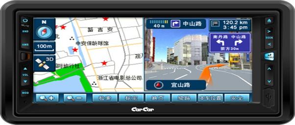
Since 1968, none of the satellites in the GPS system have proved to be unreliable; the global positioning system network is now used by many different public companies to create consumer applications – for example in-car navigation. GPS is here to stay, with more and more impressive uses being thought up every year.
For a more detailed analysis please make sure you read this article about the history of GPS navigation which is hosted on the GPS Bites website.


Comments